
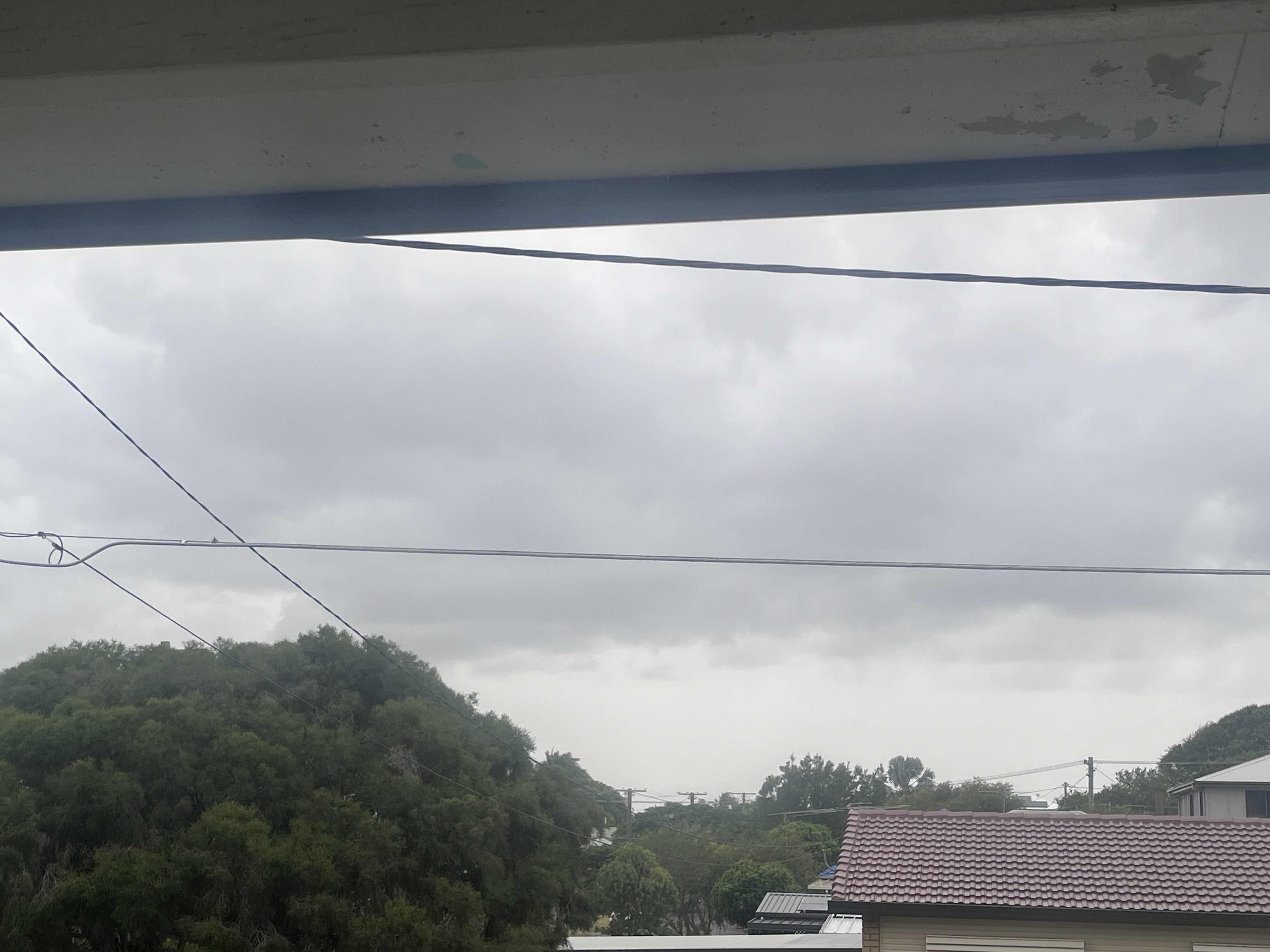
Brisbane has avoided the heaviest rainfall initially forecast, but wet and cooler conditions are expected to continue across south-east Queensland throughout the weekend, according to the Bureau of Meteorology.
Forecast high rainfall totals for the state capital did not eventuate, though areas north and south of Brisbane experienced significant falls.
Parts of the Border Ranges recorded two-day rainfall totals exceeding 200 millimetres. Multiple flood rescues were also carried out in the Fraser Coast and North Burnett regions after people became trapped in rising waters.
Police said a 63-year-old woman and a 68-year-old man were rescued from floodwaters on Gooroolba Biggenden Road about 7:15pm on Friday. Shortly before 11pm, three people were rescued after a 56-year-old woman became trapped in her vehicle on Booral Road, north of Maryborough. Two people who attempted to assist her also became stranded and required assistance from emergency services.
Authorities have reminded motorists not to drive through floodwaters.
A flood watch remains in place for the Wide Bay and Burnett and Central inland catchments. The bureau has warned that further heavy rainfall may cause flash flooding, including in densely populated areas.
For Brisbane and much of the south-east, patchy and blustery showers are forecast for Saturday. While no heavy rainfall is expected, isolated totals of up to 50 millimetres are possible on Sunday before conditions begin to ease on Monday.
Temperatures across the region are forecast to fall as much as 10 degrees below average over the weekend.
“We should see that cloud break up so temperatures recovering again and warmer from the middle of next week,” he said. “We should see temperatures getting up into the 30s once again through the second half of the week.”
The bureau advises residents to monitor forecasts and warnings as conditions develop.